Map the pond. Plan what it needs.
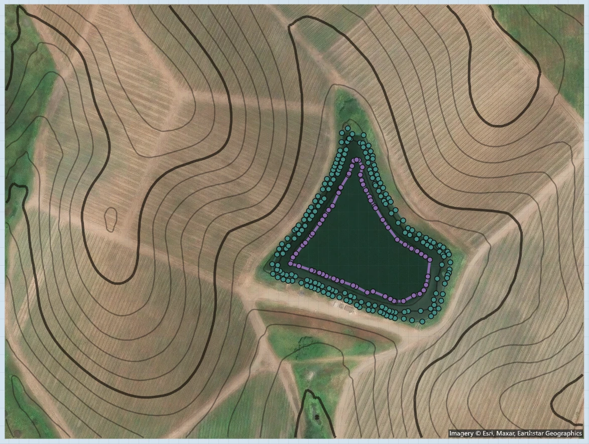
Start with the pond on the map.
Find the site.
Search for the property and frame the pond on satellite imagery. The view keeps its scale, so the shoreline and the land around it share one workspace.
Trace the water automatically.
Trace water finds the shoreline and draws it as an outline you can edit. Move points to take in the coves and irregular edges that a length-times-width estimate leaves out.
Estimate the lake bed.
Bring in USGS LiDAR for the site. It maps the ground around the water, and PondTools estimates the bed underneath from the slope of that ground, with depth contours, gallons and acre-feet.
Estimate the lake bed from LiDAR.
LiDAR bounces off water, and the USGS flattens lakes to one level surface, so the survey stops at the waterline. PondTools carries the land around the lake on under the water instead, using a method the EPA published in 2011: the steeper the ground around it and the farther a spot is from shore, the deeper it gets.
You get depth contours you can edit and the volume in gallons and acre-feet. Across about 28,000 lakes in the Northeast, the method’s typical error in maximum depth was 16 to 20 feet, so treat it as a starting basin and update it with your own soundings.
Open Studio to look at the basin in 3D, and work in acres, gallons or acre-feet as each calculator needs.
How the estimate works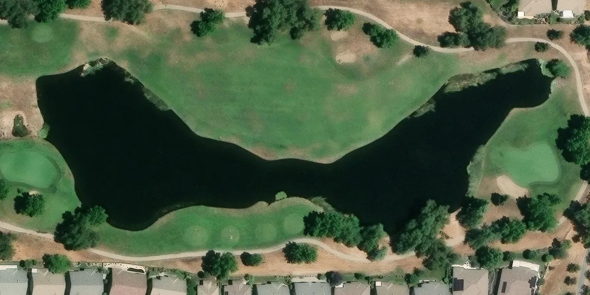
- Volume
- 1,365,782 gal
- Acre-feet
- 4.2
- Deepest
- 48 in
- Size
- 921 × 316 ft
Work out the amount before you buy.
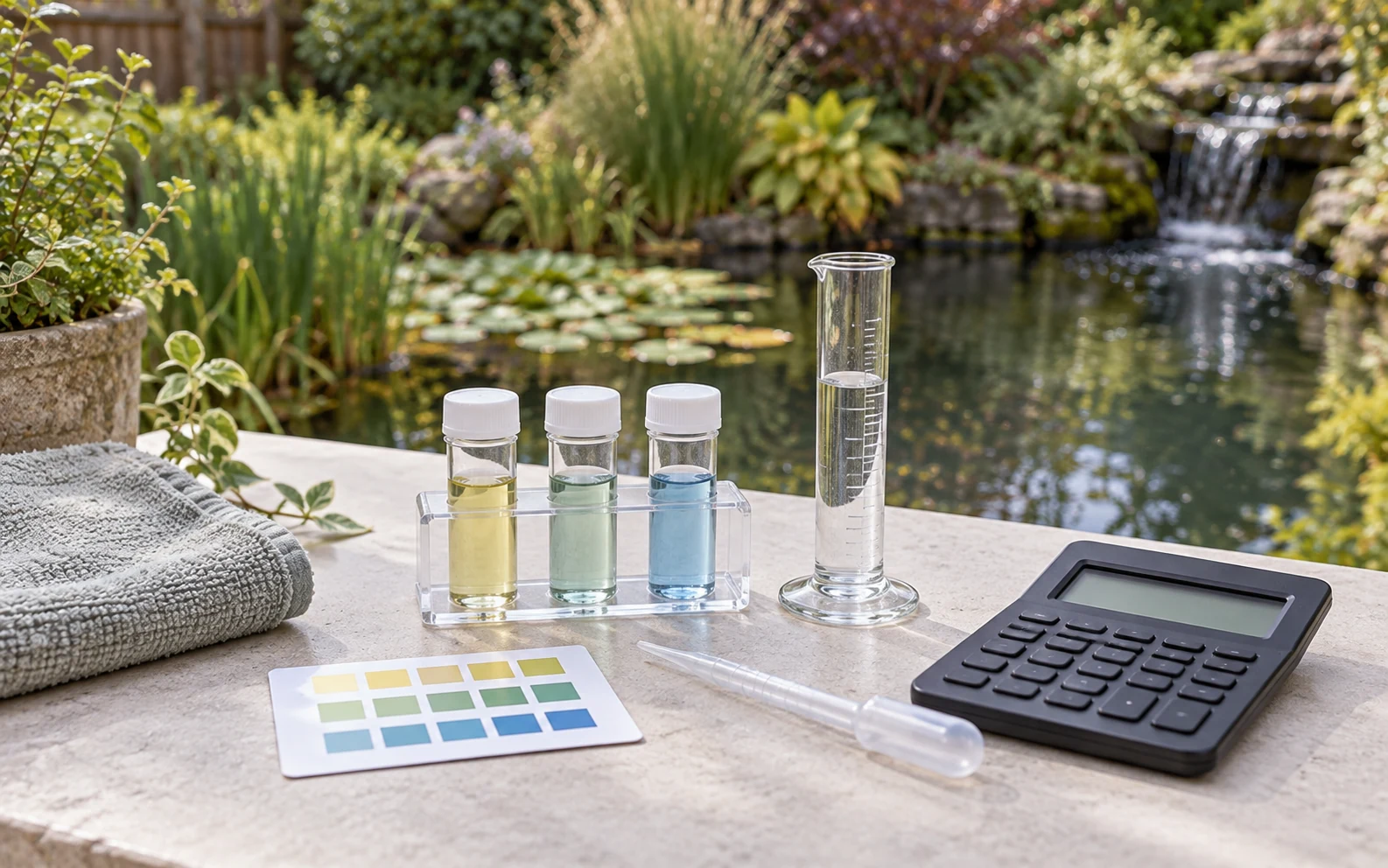
Use the mapped area and volume to work out how much treatment to buy, then compare it with your supplier’s pack sizes and prices before you order.
Calculate lime from the pond’s area and the application rate. Use your jar-test results with the area and average depth to work out alum or gypsum for muddy water, and the fertilization tool gives product amounts for the pond’s area.
Save the pond’s measurements for the next treatment. If you revise the area or the depth, recalculate before you buy more.
- Liming
- Area and application rate.
- Muddy water
- Alum and gypsum quantities.
- Fertilization
- Product amounts for the area.
Plan aeration, stocking and feeding.
Use the same site plan for aeration, stocking and feeding. Work through the pond-aeration calculator, compare stocking plans and check how much feed the fish will need.
Enter your price per bag in the feeding calculator to see the monthly feed cost, and use the carrying-capacity and harvest tools to plan production and removal.
Save a project for each pond with its outline, terrain and depths. Attach the owner’s details when it’s someone else’s property, so you can find the right plan at the next visit.
Plan pond aeration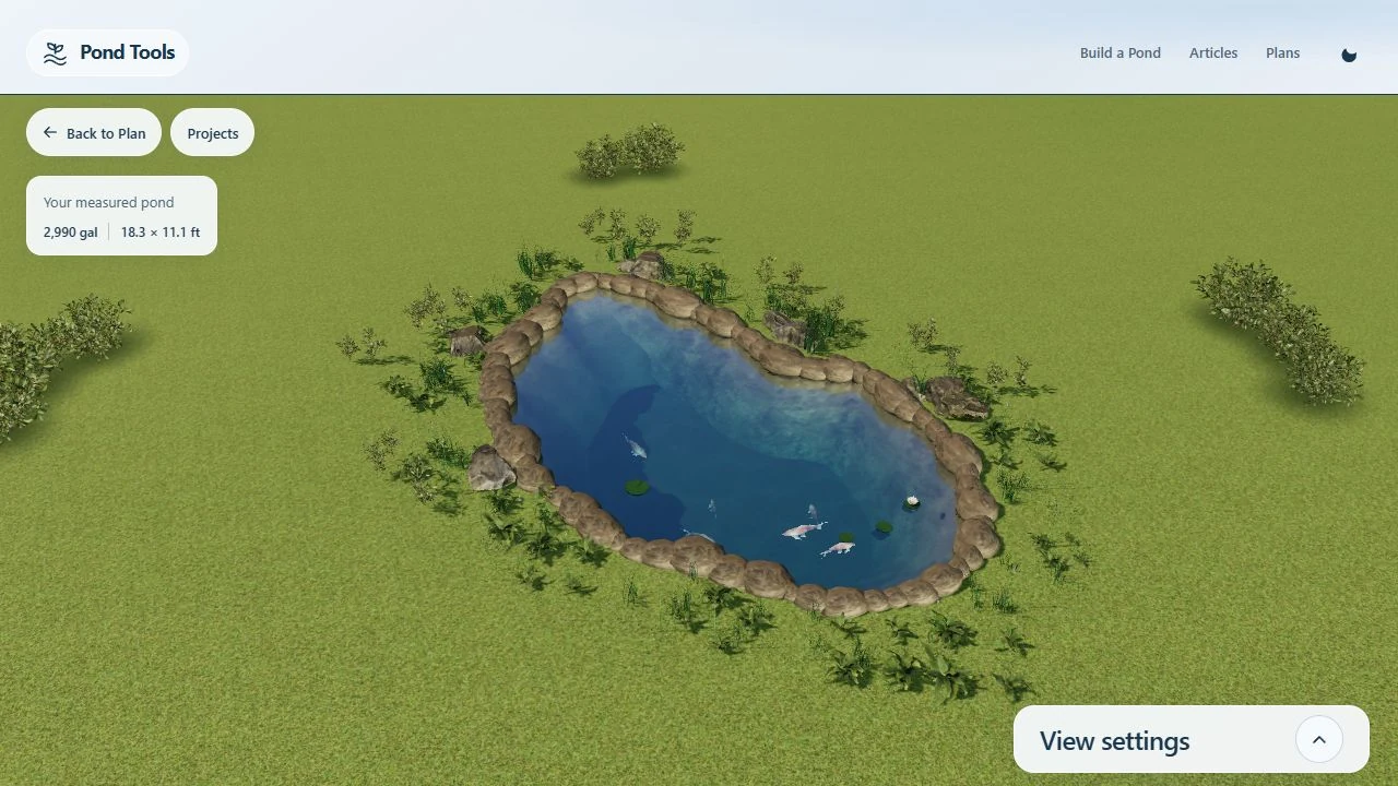
Pond management calculators.
Planning your pond
How do satellite imagery and LiDAR work together?
The satellite photo shows the site and the waterline, and water detection turns the shoreline into an outline you can edit. USGS LiDAR maps the ground around it, and PondTools estimates the lake bed from that ground to give you depth contours and a volume.
How accurate is the lake-bed estimate?
It’s an estimate from a published method, not a survey. Across about 28,000 lakes in the Northeast, the EPA method’s typical error in maximum depth was 16 to 20 feet, so treat it as a starting basin and update it with your own depth readings.
What if there is no LiDAR for my site?
The USGS 3DEP survey covers most of the United States. Where it doesn’t, trace the shoreline and set the depths yourself to build the basin.
Can I adjust the automatically traced boundary?
Yes. The detected shoreline becomes an outline you can edit. Move, add or remove points around the features in the image, then save the plan.
Where do I start with a treatment calculation?
Start with the pond’s mapped area, its depth or volume, and the inputs the treatment tool asks for. Choose liming, muddy-water treatment or fertilization to get the product quantity.